 |
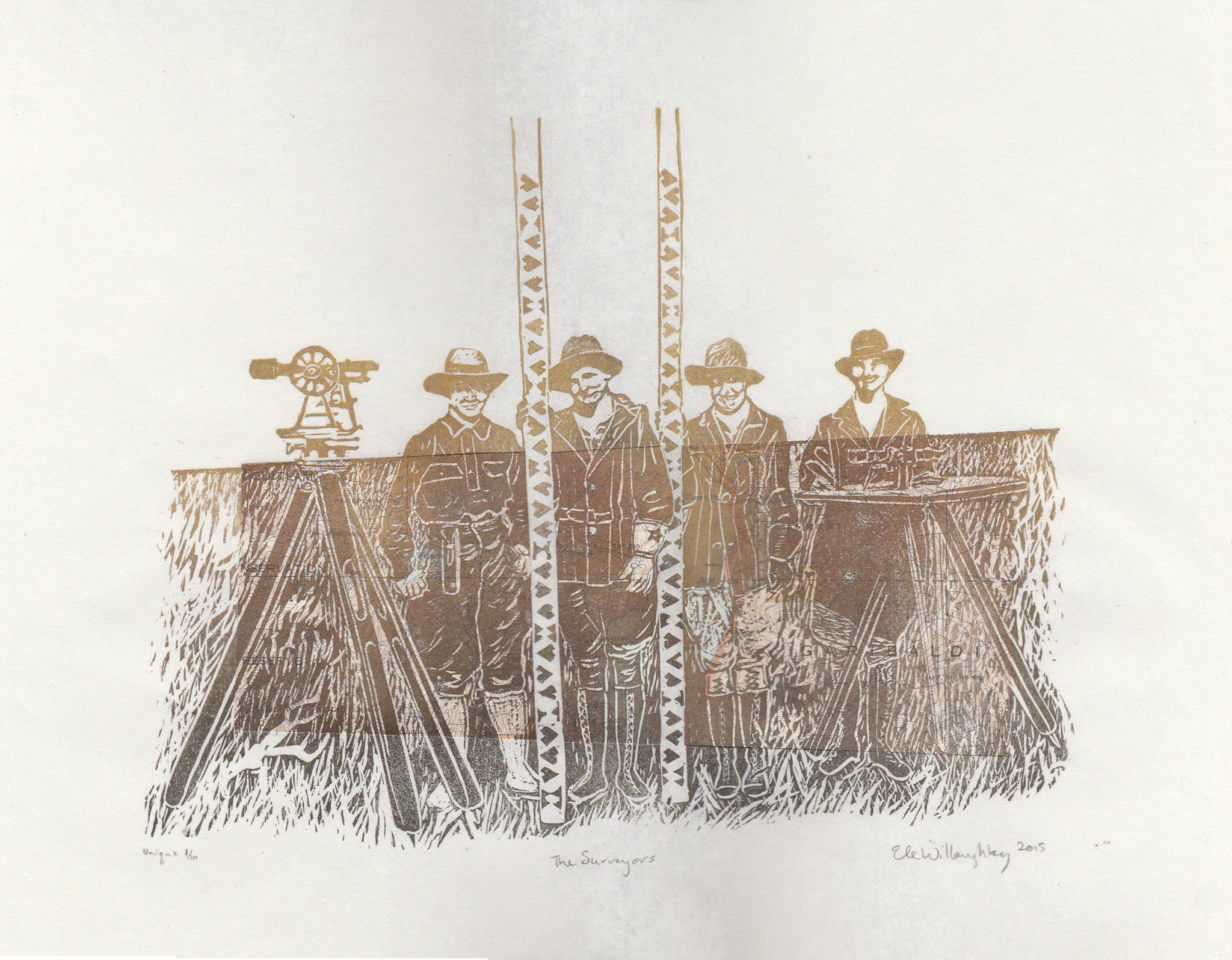
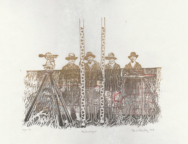
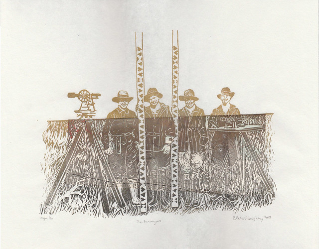
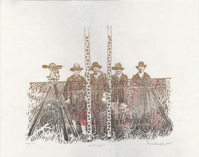
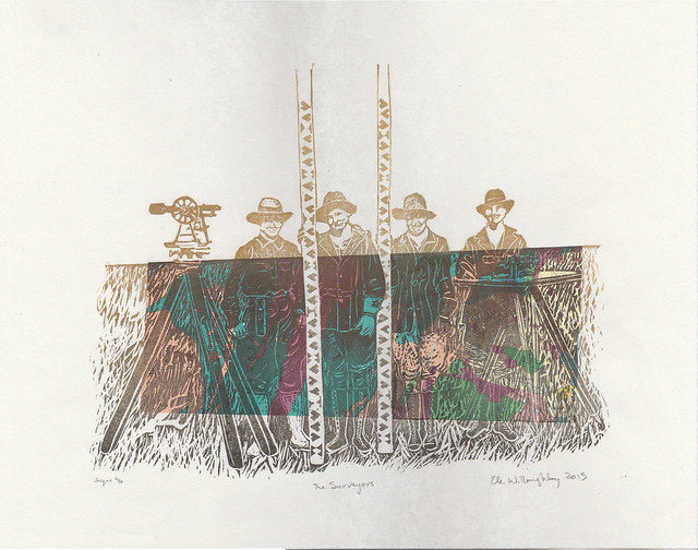
| The Surveyors, linocut with vintage topographical map, 14" x 11", edition of 10 each unique, 2015 by Ele Willoughby |
 |
| All female survey crew working on the Minidoka Project, Idaho, 1918. |
I love when people approach me about doing a fascinating custom order. An artist, Krista Caballero who has been collaborating with many others on a project called
Mapping Meaning which brought together "artists, scientists and scholars to explore questions of social, mental, and environmental ecology. Inspired by a photograph from 1918 depicting an all-female survey crew, the project is rooted in a five-day experimental workshop that takes place biennially on the Colorado Plateau." She wanted to thank her collaborators with the gift of a print and wanted to know if I could make an edition inspired by this very 1918 photo. Since one of the things I do is communicate science through art with portraits of scientists (with a special focus on women in the history of science) and I have also done a variety of earth science surveys and mapping, this is very much my thing. In fact, I worry sometimes about hagiography... about only present heroes and heroines, or perpetuating the myth that science is a series the story of a series of lone geniuses. Plus, those survey rods with their odd symbols are so graphic and tempting to one who makes relief prints.
I proposed portraying these women and incorporating vintage geological, topographic and seismicity maps of the western North America, so that each print would be unique. All of the vintage maps came from the Geological Survey of Canada and were actually used in the field - as a tip of the hat to these women. I felt that any marking on the maps actually made them more app. The maps are also from western North America, and are decades old - a little further west and north, and later than these women worked... but they can be tied to similar pioneering surveying work. These hard-working women would have produced the sorts of data
fundamental to producing the maps like these geological, topographic and
seismicity (or earthquake) maps. The history of science is not only a
series of exploits of well-known genius experimentalists, famous for
their eureka moments; nor is it simply a tale of paradigm shifts brought
about by wiser theorists who suddenly saw the need to shift the entire
underpinnings of a given field of science. The history of science is
also a tale of hard work by countless unknowns; an all-female survey
crew from the early twentieth century seem especially unknown. We have
no record of their names and they do not fit our preconceived notions of
who explored and mapped the west, or who did fundamental scientific
grunt work. I think Idaho in 1918 would still feel like the wild west and imagine these women to be quite fearless.
There are a
few extra available here.
 |
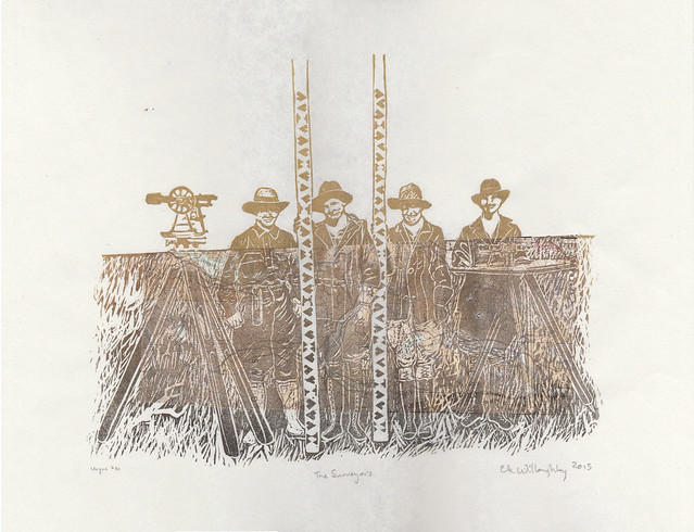
The Surveyors, linocut with vintage topographical map, 14" x 11", edition of 10 each unique, 2015 by Ele Willoughby
|
 |
| The Surveyors, linocut with vintage topographical map, 14" x 11", edition of 10 each unique, 2015 by Ele Willoughby |
 |
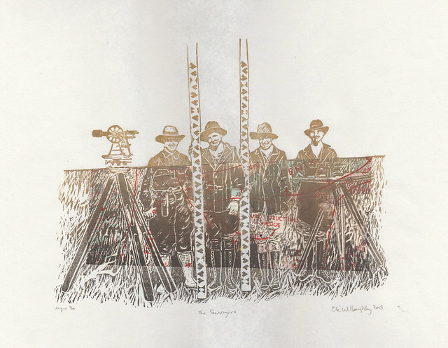
The Surveyors, linocut with vintage geological map, 14" x 11", edition of 10 each unique, 2015 by Ele Willoughby
|
 |
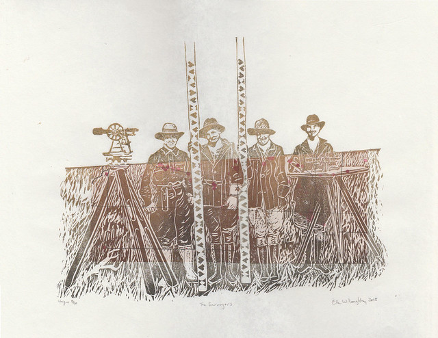
The Surveyors, linocut with vintage geological map, 14" x 11", edition of 10 each unique, 2015 by Ele Willoughby
|
 |
The Surveyors, linocut with vintage topographical map, 14" x 11", edition of 10 each unique, 2015 by Ele Willoughby
|
 |
The Surveyors, linocut with vintage geological map, 14" x 11", edition of 10 each unique, 2015 by Ele Willoughby
|
 |
The Surveyors, linocut with vintage seismicity map, 14" x 11", edition of 10 each unique, 2015 by Ele Willoughby
And do check out Mapping Meaning - there's some very interesting stuff there! |


No comments:
Post a Comment